Home
Languages
Lexicon
Thesaurus
Villages
Flora-Fauna
Materials
Videos
Village Komokani Na
2 Photos
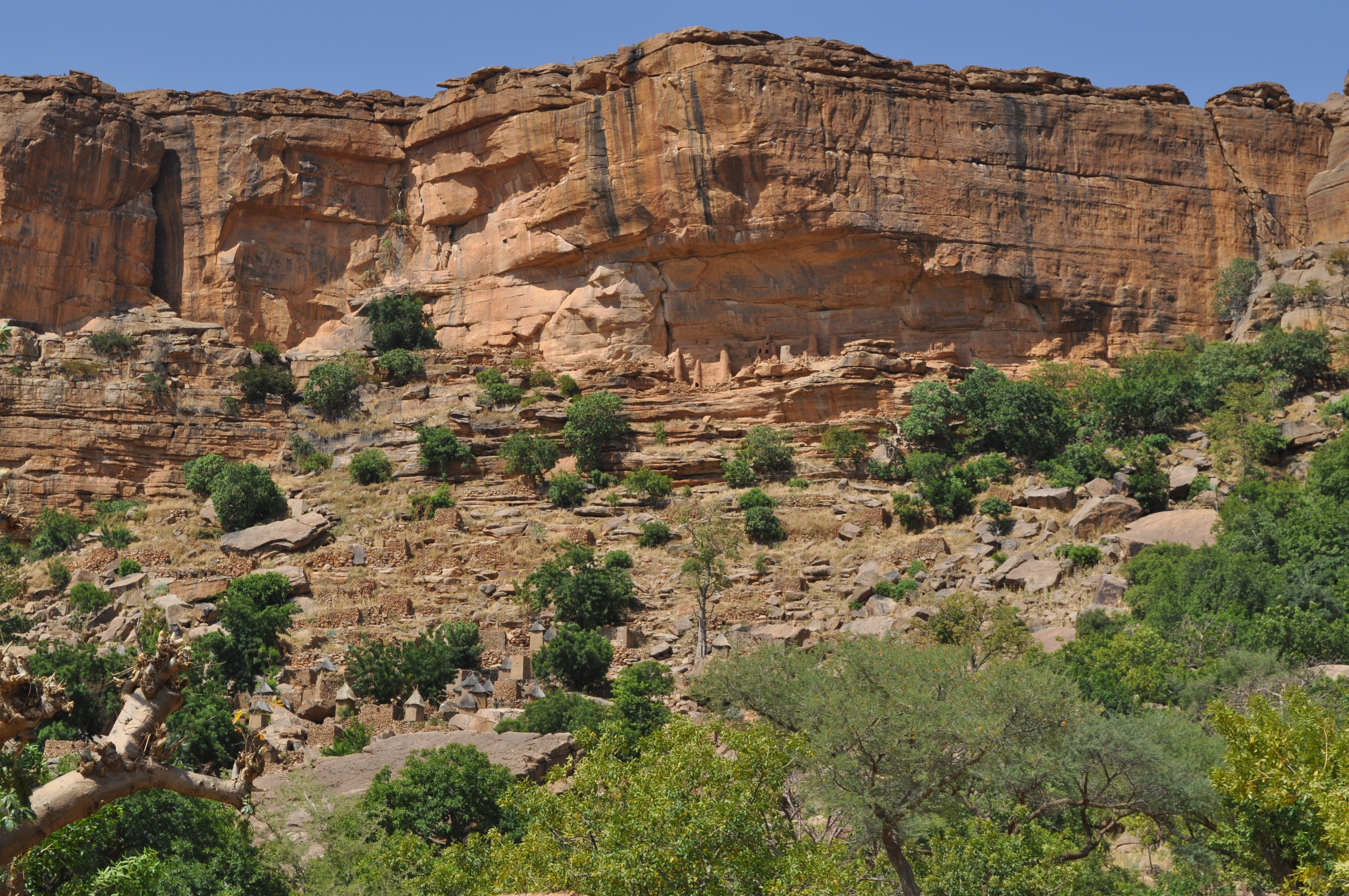
village on lower slope and base of cliffs; Tellem structures in niche in cliffs
Location
14°21'36.00"N, 3°22'22.50"W; (14.36, -3.37) source: Dogon project
Transcribed name
kɔ̀mɔ̀kà:ⁿ ná:
Language
Toro So
Surnames
Douyon
Photos
Description
lower village
Date
2011-11-01
Creator
Jeffrey Heath
Location
14°22'0.00"N, 3°22'W; (14.37, -3.37)
Description
upper village with Tellem structures
Date
2011-11-01
Creator
Jeffrey Heath
Location
14°22'0.00"N, 3°22'W; (14.37, -3.37)
×