Home
Languages
Lexicon
Thesaurus
Villages
Flora-Fauna
Materials
Videos
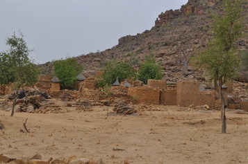
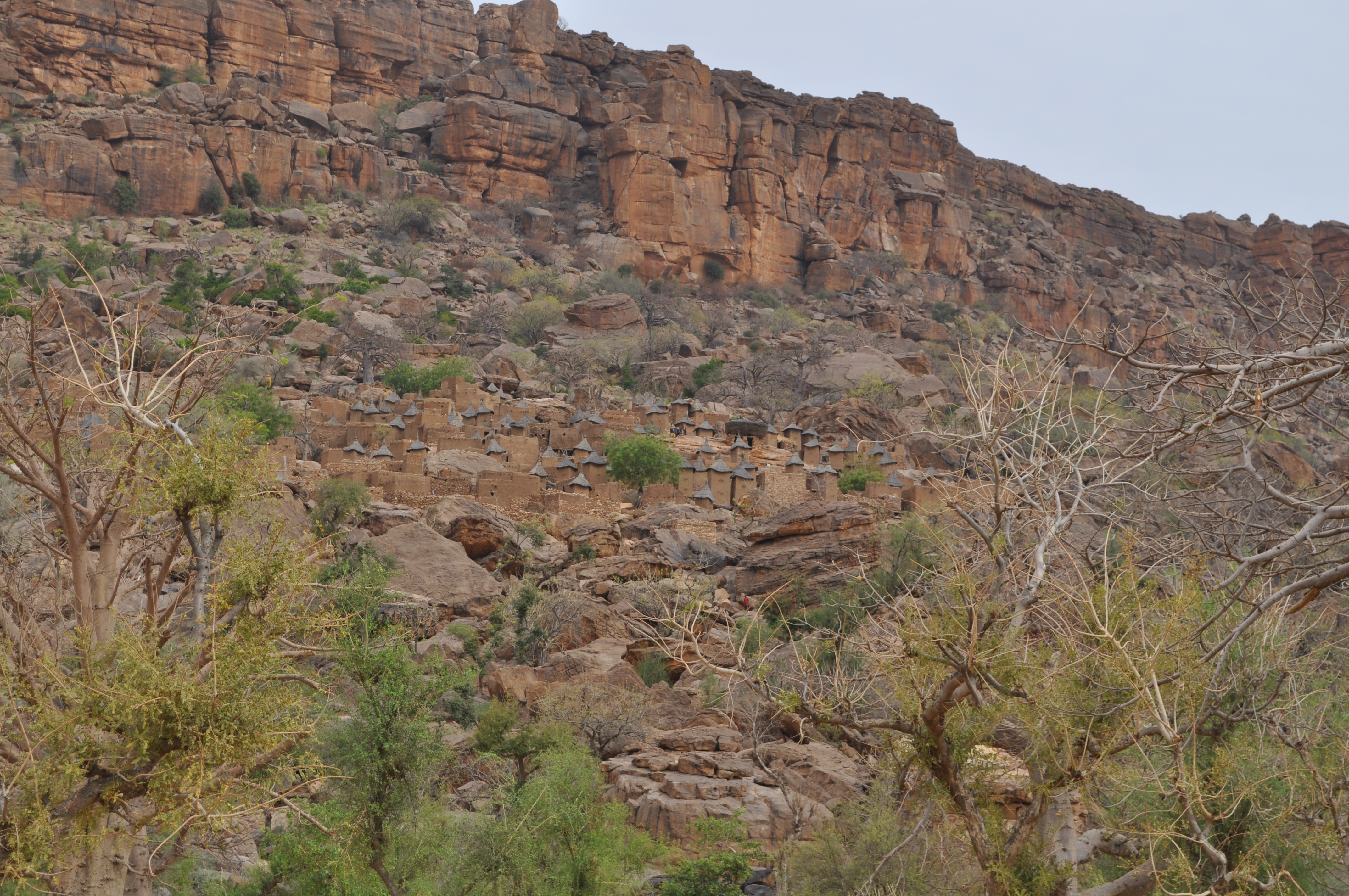
Village Tepere
2 Photos
village on slope of mountain, with a second section below at the base; farming and herding
Location
14°36'40.86"N, 3°11'35.64"W; (14.61, -3.19) source: Dogon project
Transcribed name
tɛ̀bɛ̀lɛ́
Language
Tommo So
Surnames
Ouologuem, Guindo, Tembiné
Photos
Description
lower
Date
2011-04-01
Creator
Jeffrey Heath
Location
14°37'0.00"N, 3°12'0.00"W; (14.62, -3.20)
Description
upper
Date
2011-04-01
Creator
Jeffrey Heath
Location
14°37'0.00"N, 3°12'0.00"W; (14.62, -3.20)
×